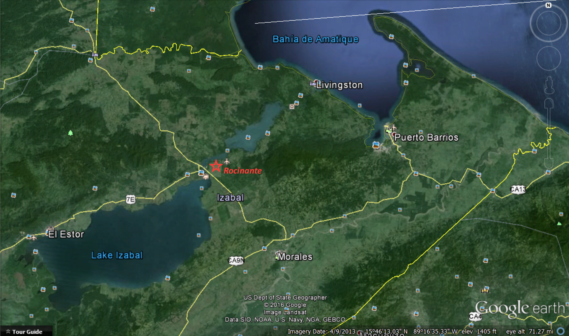
Still in Rio Dulce
It’s been 6 weeks since we last blogged. In those six weeks, Lisanne traveled to Russia for two weeks and Houston for a few days on business. Bill stayed aboard Rocinante, pretending to learn Spanish and working (or at least pretending to work) on the boat, though he was often distracted by opportunities to paddle his kayak or row the dinghy.
Lisanne’s flights left and returned through San Pedro Sula, in Honduras—according to Wikipedia, “the most dangerous place in the world,” but for those of us who are not in the drug trade it didn’t seem too dangerous. The trip to and from the airport required a four-hour drive and a border crossing between Honduras and Guatemala. The border crossing is well known as a smuggling route for cattle and horses being moved from El Salvador to Mexico, often herded on part of the route by Mayan vacqueros on horseback.
In San Pero Sula itself, mixed with the city traffic, occasional horse drawn carts wander by, but not the sort used in tourism—the carts use old car tires rather than spoked wooden wheels. Bill resolved to have one for his own if we ever settle down in Honduras.
[fancy_images width=”260″ height=”170″]
[image caption=”One of the squares in Antigua. It is a beautiful colonial style town, with a lot of tourists.”]http://lamaecological.com/wp-content/uploads/2016/02/2016-01-23-13.31.38.jpg[/image]
[image caption=”At a gas station on the way to the airport in Honduras.”]http://lamaecological.com/wp-content/uploads/2016/02/2016-01-30-06.53.37.jpg[/image]
Before Lisanne’s trip to Russia, we traveled inland, first to Antigua, Guatemala’s beautiful but very touristic old capital, and then on to Lake Atitlan. Lake Atitlan sits at about 5,500 feet, surrounded by volcanic mountains. It’s a well-known destination for foreign and local tourists and a magnet for the latest breed of traveling hippies. While there, we climbed a dormant volcano called San Pedro, through fields of maize and coffee being worked by Mayans—our Mayan guide said that the planted parcels, which are part of a preserve, are allocated to Mayan families in something resembling a land reform program.
When Lisanne returned from Texas, we sailed downriver to Caya Quemada (Burnt Cove), also known as Texan Bay because of Texan Mike, who moved there years ago and set up a marina and now owns a small restaurant on the water. While anchored in Caya Quemada, we watched Mayan kids in their school uniforms paddle by in dugout canoes going to and from school. Later we borrowed a dugout for a test drive—they are tippy, but after a little practice they paddle well.
Caya Quemada is surrounded by creeks and lagoons, with great paddling and birding. Among the plants are large water lilies with leaves up to 2 feet across—probably Nymphaea sp., but if anyone recognizes the species from the photo send us a note. (We have not found a good plant i.d. book for this area.) In the evenings, beautiful northern Jacanas—wading birds with feet as big as snow shoes (you know, in relative terms)—stalk prey by strutting across the tops of the water lilies. USAID seems to have a presence in this part of the Rio Dulce, based on signs they have posted, but we never figured out exactly what they had done, other than posting signs.
While in Caya Quemada we picked up our new red sail covers from Tom, an American sail maker who has set up a loft on the river there, and we bought some cedar blanks to make a new boom for our mizzen mast. We’ll return to Caya Quemada soon to work on the boom—Tom has offered a bit of space in his loft to laminate the three pieces together, and it is hard to imagine a better setting for making a boom.
[image caption=”View of Lake Atitlan from the top of San Pedro volcano”]http://lamaecological.com/wp-content/uploads/2016/02/2016-01-25-09.14.57-2.jpg[/image]
[image caption=”At the top of San Pedro volcano”]http://lamaecological.com/wp-content/uploads/2016/02/2016-01-25-09.15.41.jpg[/image]
[image caption=”Rocinante with her new sail covers”]http://lamaecological.com/wp-content/uploads/2016/02/DSC_6599.jpg[/image]
[image caption=”A relaxing paddle in Caya Quemada”]http://lamaecological.com/wp-content/uploads/2016/02/DSC_6621.jpg[/image]
[/fancy_images]
Back at RAM Marina, a Mayan tied up next to us in a launch, and in the launch he had a bag of cacao (chocolate) seed pods and two small cacao trees in pots. He told us about a cacao plantation down river, so we’ve been trying to find out if there is a way to tour the place. No luck so far.
We’ve done two test fittings of our new bimini—the roof over the cockpit. We’re building it partly for better protection from sun and rain in the cockpit, but mainly for mounting solar panels. The geometry of the shrouds and stays that support the mizzen mast add challenges, but with the test fittings and modifications it looks like we are entering the final round. This is the last big repair/upgrade that is keeping us on the Rio Dulce, and we hope to be out of here before there is enough time to send another blog. This is a great place, but it is time to move on.
While waiting for the bimini to progress, we will head into Lake Izabal, Lago de Izabal, upriver from here. We will probably probably overnight at Finca El Paraiso (a cattle ranch near the hot spring water falls) and then go on to El Estor, a town on the northeast side of the lake.